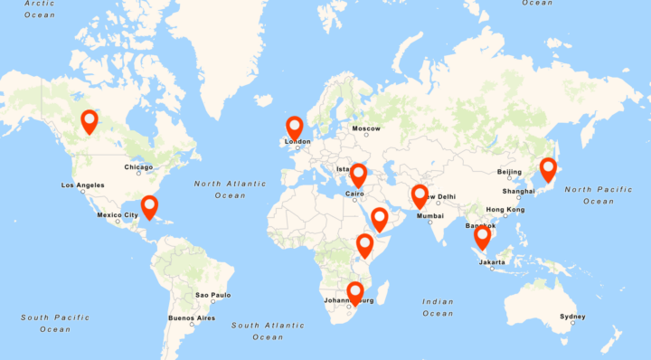
Clicking on the above image will take you to an outside website that hosts the interactive map.
This map shows the locations of 11 images from our collection over a wide geographic spread:
- Australia: A fashionable Melbourne suburb. INF 10/29/12
- Canada: A typical home in Alberta. INF 10/91/18
- Cayman Islands: Guitar player. INF 10/98/05
- Cyprus: Village landscape. INF 10/110/03
- Eswatini: Children in the garden of their new home. INF 10/348/10
- Japan: Two sisters. INF 3/1839
- Kenya: Building a home. INF 10/159.81
- Malaysia: Family celebration. INF 10/211/4
- Pakistan: Street scene. INF 10/256/01
- UK: Cottage in Derbyshire. COPY 1/218.261
- Yemen: Street scene. INF 10/211.48
We have been as accurate as possible about where on the map we have placed these images, but we can’t always know the exact location. Where we don’t know the specific city or street, we have placed them randomly in the country.
Have a look at the map and answer these questions.
1.
These images are from across the world; Canada, the Cayman Islands, Cyprus, Eswatini, Japan, Kenya, Malaysia, Pakistan, the UK and Yemen. If you visited them, you would have to cross land and sea.
How would you travel between the countries? Choose 2 or 3 places and plan a fun way of moving from one to the other. Perhaps you would travel across the sea by hot air balloon, raft or hang glider? On land, you might travel by steam train, horse and cart or electric skateboard?
Can you talk about your plan with a friend, or draw your preferred type of travel?
2.
If you could visit any country, where would you go? Which would it be?
Once you arrived, what would you do for fun? What sights and sounds might you see? What foods would you taste?
3.
Can you find where one of more of the photographs were taken using Google Maps? What do they look like today?