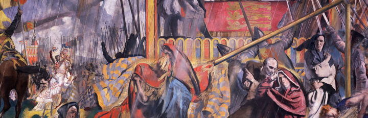
How did the inhabitants of the island of Britain think of themselves in the five and a half centuries between 1066 and 1603? Did they see themselves as British, or as English, Scottish or Welsh? Or was a local identity more important? And what did English dominance mean for Ireland and France, which had never been part of Britain?
This exhibition looks at how the governments and people of England, Scotland, Ireland and Wales, and of England’s French territories, interacted in politics, warfare, religion, trade and everyday life. We hope it will give you insights into the events and forces that influenced ideas of identity, loyalty and nationhood.
This resource has been archived as the interactive parts no longer work. You can still use the rest of it for information, tasks or research. Please note that it has not been updated since its creation in 2006.
You can find more content on this topic in our other resources:
Themed collections
- Magna Carta, 1215 and beyond
A medieval revolution? - English Reformation c1527-1590
How did state and people respond to religious change? - Elizabeth I’s monarchy
Rule of a ‘weak and feeble’ woman? - James I
What were the key areas of dispute? - Jacobite Rebellion of 1715
Rebels with a cause? - Jacobite Rising of 1745
A serious threat to the Hanoverians?