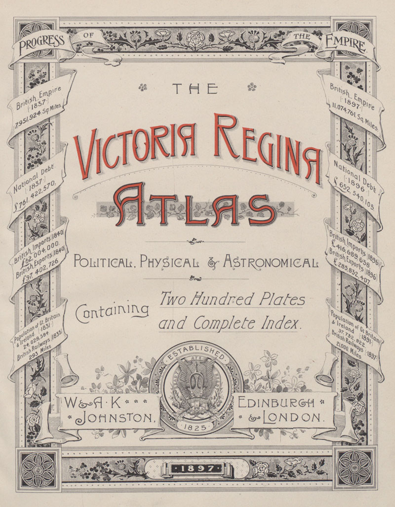
Front cover of ‘The Victoria Regina Atlas: 200 plates and maps’, W. & A.K. Johnston, Edinburgh and London, 1897 (FO 925/4173)
Transcript
THE VICTORIA ATLAS POLITICAL, PHYSICAL AND ASTROMONICAL
Containing two hundred plates and complete index
W AND A.K JOHNSTON ESTABLISHED 1825 EDINBURGH AND LONDON
1897 PROGRESS OF THE EMPIRE
| British Empire, 1837, 7,951,924 sq. miles | British Empire, 1897, 11,074,761, sq. Miles |
| National Debt, 1837, £761,422,570 | National Debt, 1896, £652,549,105 |
| British Imports, 1840, £62,004,000. British Exports, 1840, £97,402,726 | British Imports 1896, £416,689,658, British Exports 1896 £285,832,407 |
| Population of Gt. Britain and Ireland, 1831, 24,028,584. British Railways, 1835, 293 miles | Population of Gt. Britain and Ireland, 1891, 37,732,922. British Railways 1897, 21000 Miles |
