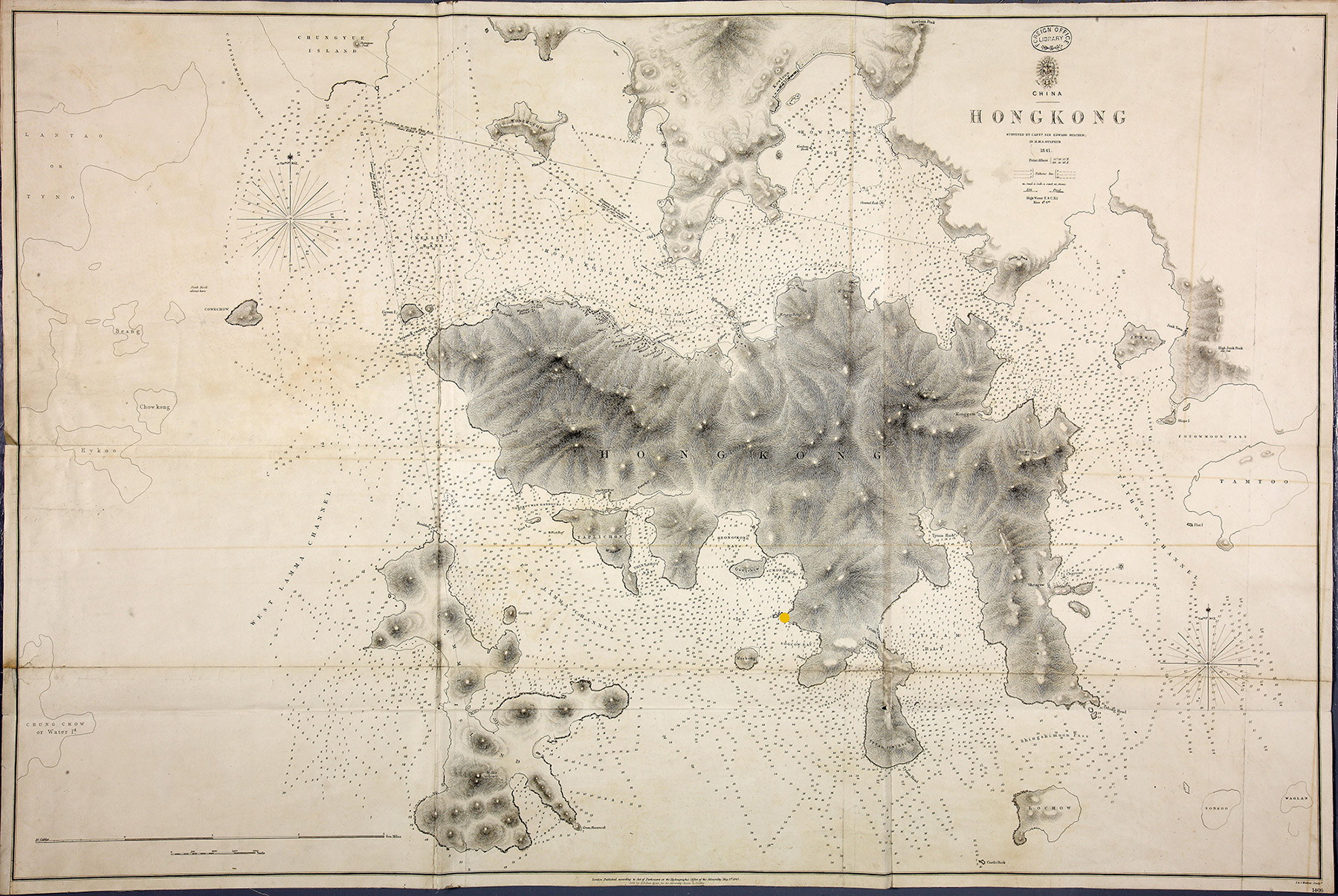
Hong Kong, surveyed by Captain Sir Edward Belcher, 1841. (FO 925/2293)
Transcript
CHINA
HONGKONG
Surveyed by Capt. Sir Edward Belcher
In H.M.S. Sulphur
1841.
Map description
Map showing Hong Kong Island labelled ‘HONG KONG’. Underneath is an island labelled ‘LAMMA ISLAND’. Above a bay labelled ‘VICTORIA BAY’ is a piece of land labelled ‘Kowloon’ with two forts marked out.
Look at sources 1a – c. These three maps show what Hong Kong looked like at three different points in history: 1841, 1868, and 1899.
- ‘Hong Kong Island’ – which is just one small part of today’s Hong Kong – is present in all three of these maps. Can you find it?
- In each map, identify which is the British territory and which is the Chinese territory.
- What do you think has happened in between each of these maps to change the borders?
- Look at a map of Hong Kong today. How similar is it to Source 1c?
- Today, Hong Kong Island is the political and economic centre of Hong Kong. Looking at these maps, why do you think that is?