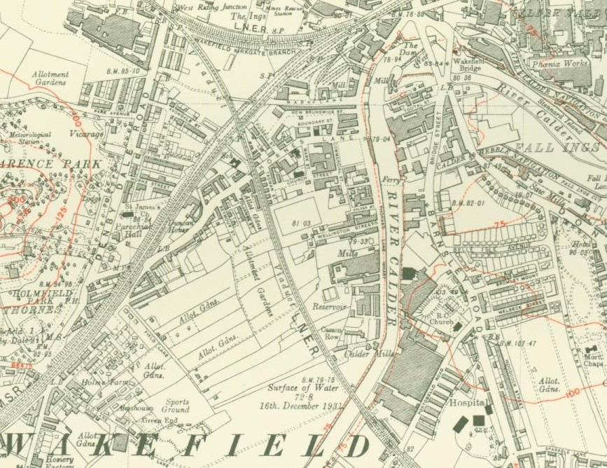
Map of Wakefield showing the Viaduct, River Calder and Thornes Lane
Source Four- Map of Wakefield 1930
- Can you find Thornes Lane junior school on the map? How do you think the children got to school? What more can you learn about the area from this map?