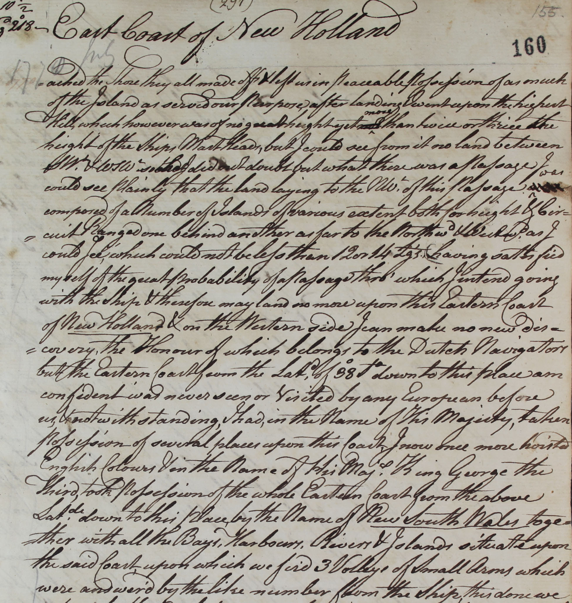
ENDEAVOUR: official copy of journal kept by Captain James Cook. Voyage of discovery, South Indian Ocean. 1768 May 27-1771 July 10. Catalogue ref: ADM 55/40.
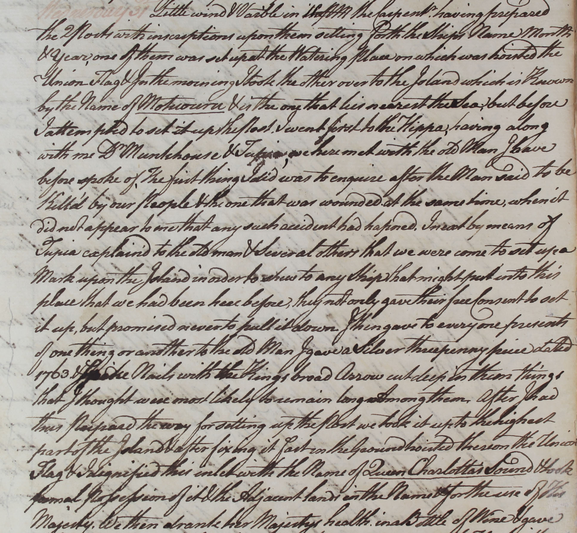
ENDEAVOUR: official copy of journal kept by Captain James Cook. Voyage of discovery, South Indian Ocean. 1768 May 27-1771 July 10. Catalogue ref: ADM 55/40.
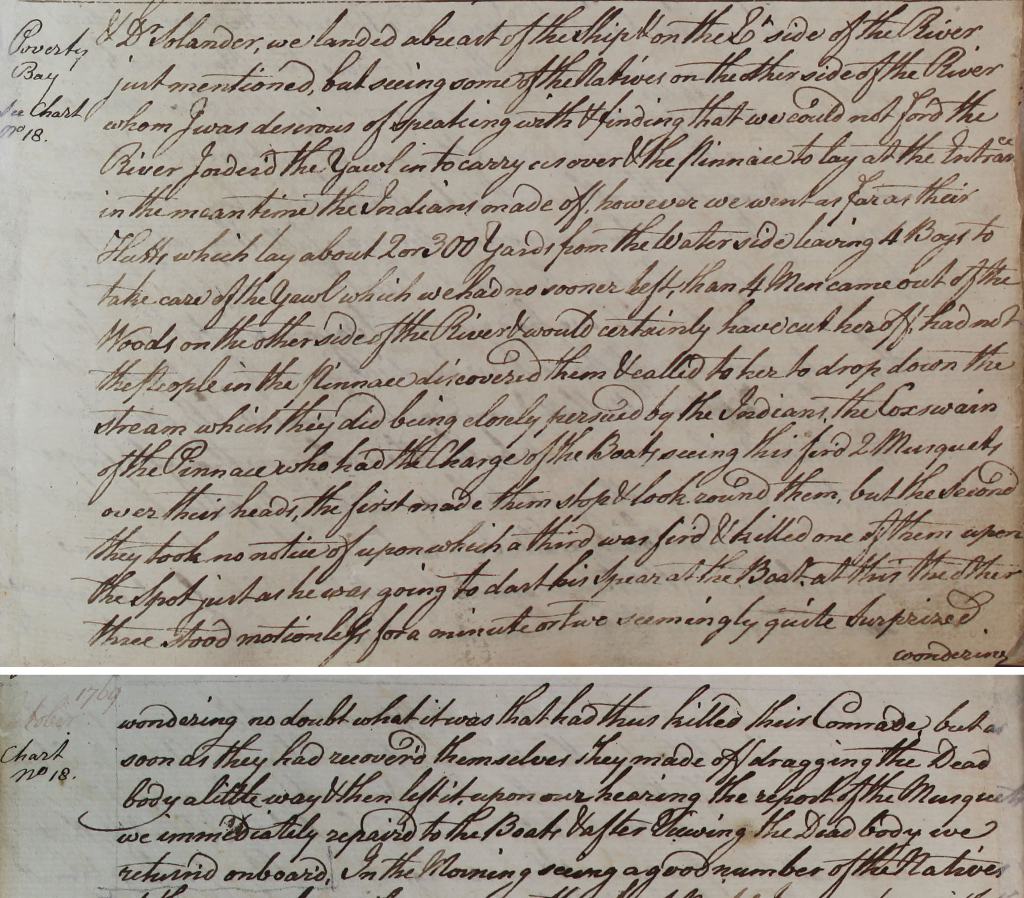
ENDEAVOUR: official copy of journal kept by Captain James Cook. Voyage of discovery, South Indian Ocean. 1768 May 27-1771 July 10. Catalogue ref: ADM 55/40.
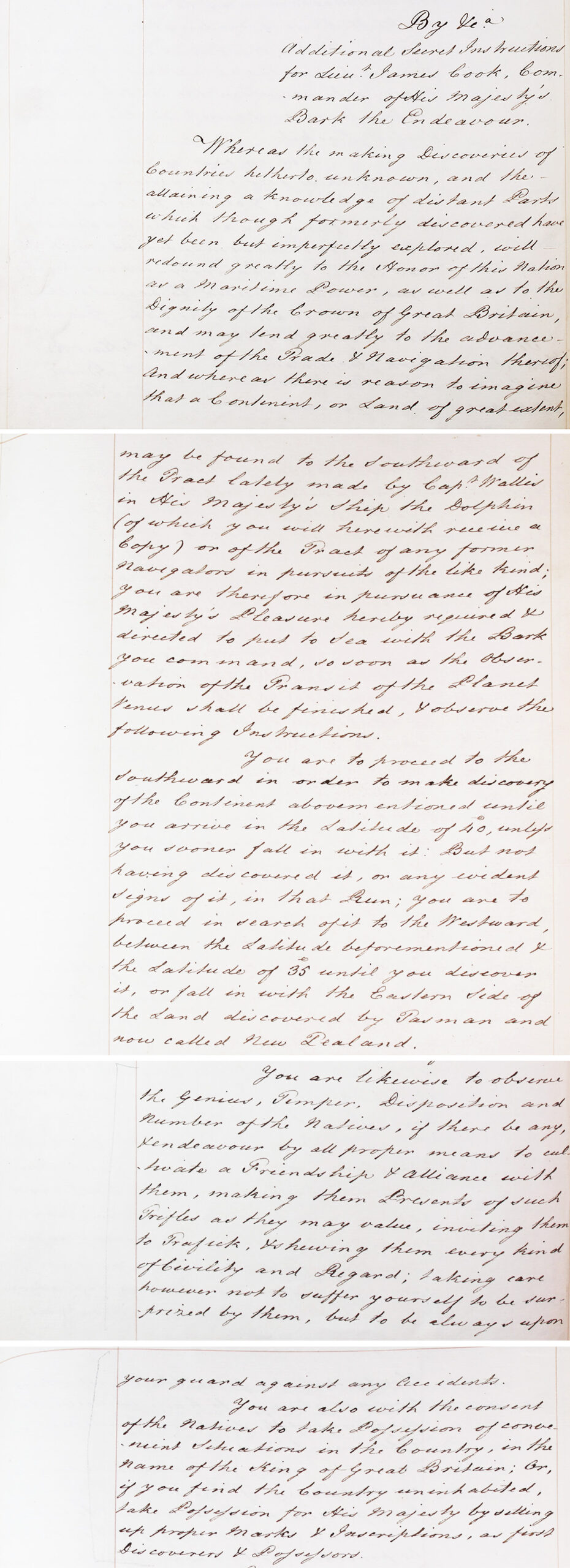
SECRET LETTERS. ADM 2/1332
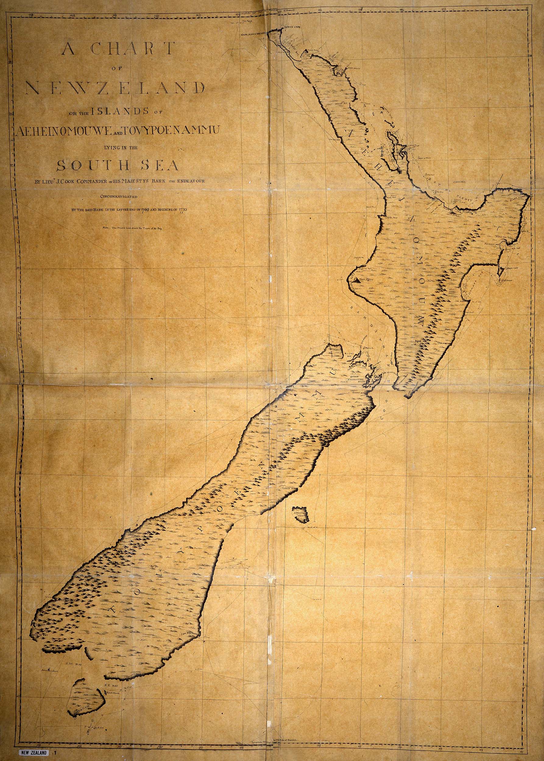
Chart of New Zealand drawn by Cook during his first voyage, around 1770.
CO 700/NEWZEALAND1: New Zealand by Lt James Cook, Commander of the Endeavour c1770, Catalogue Ref: CO 700/NEWZEALAND1
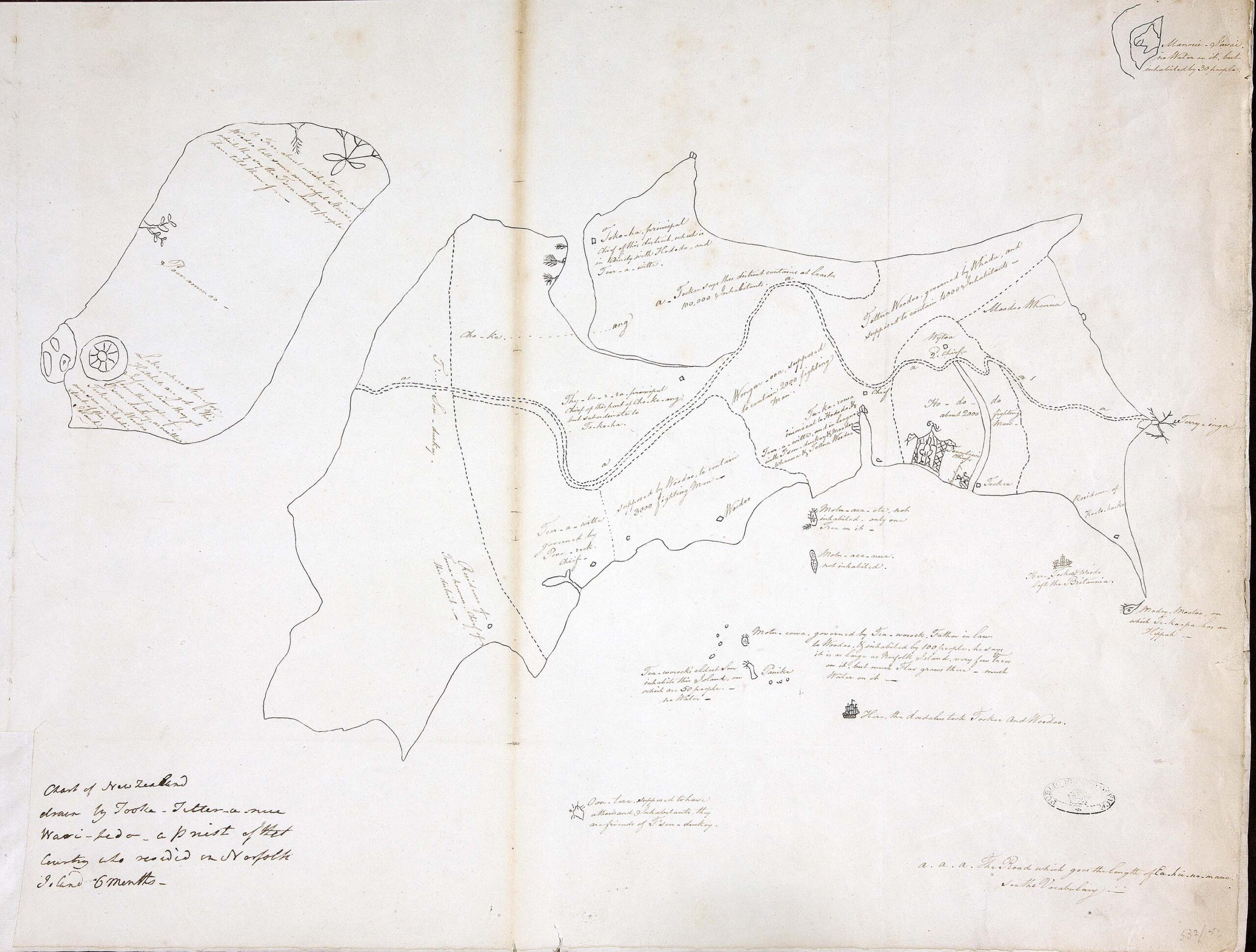
The oldest known Māori map of New Zealand, drawn by Tooka-Titter-anue Wari-Ledo in 1793.
Chart of New Zealand drawn by Tooka-Titter-anue Wari-Ledo [Tuki Tahua], 1793. Catalogue Ref: MPG 1/532/5
[West is at the top of the map. North Island (right), where Tuki lived, is drawn larger than South Island, which he had never visited].

Extract from the Great Roll of the Pipe for the thirteenth year of the reign of King John, A.D 1210-1211. Catalogue Ref: E 372/57, m. 22

Letter to the Constable of Bristol ordering the imprisonment of Jews. Catalogue Ref: C66/10, m. 10

Letter to the Constable of Bristol ordering that Isaac son of Jurnet is delivered to the Tower of London. Catalogue Ref: C66/10, m. 10
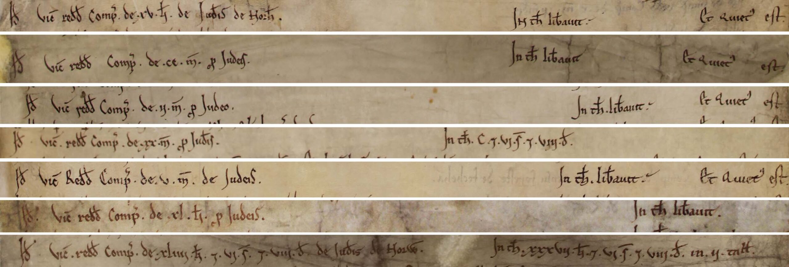
Extracts from the Great Roll of the Pipe for the fifth year of the reign of King Henry Second, A.D 1158-1159. Catalogue Ref: E 372/5.