


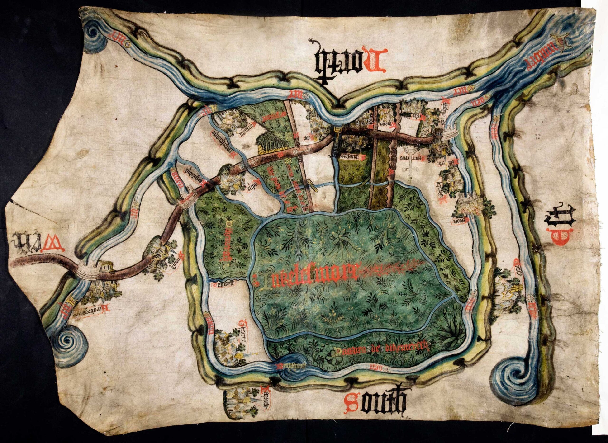
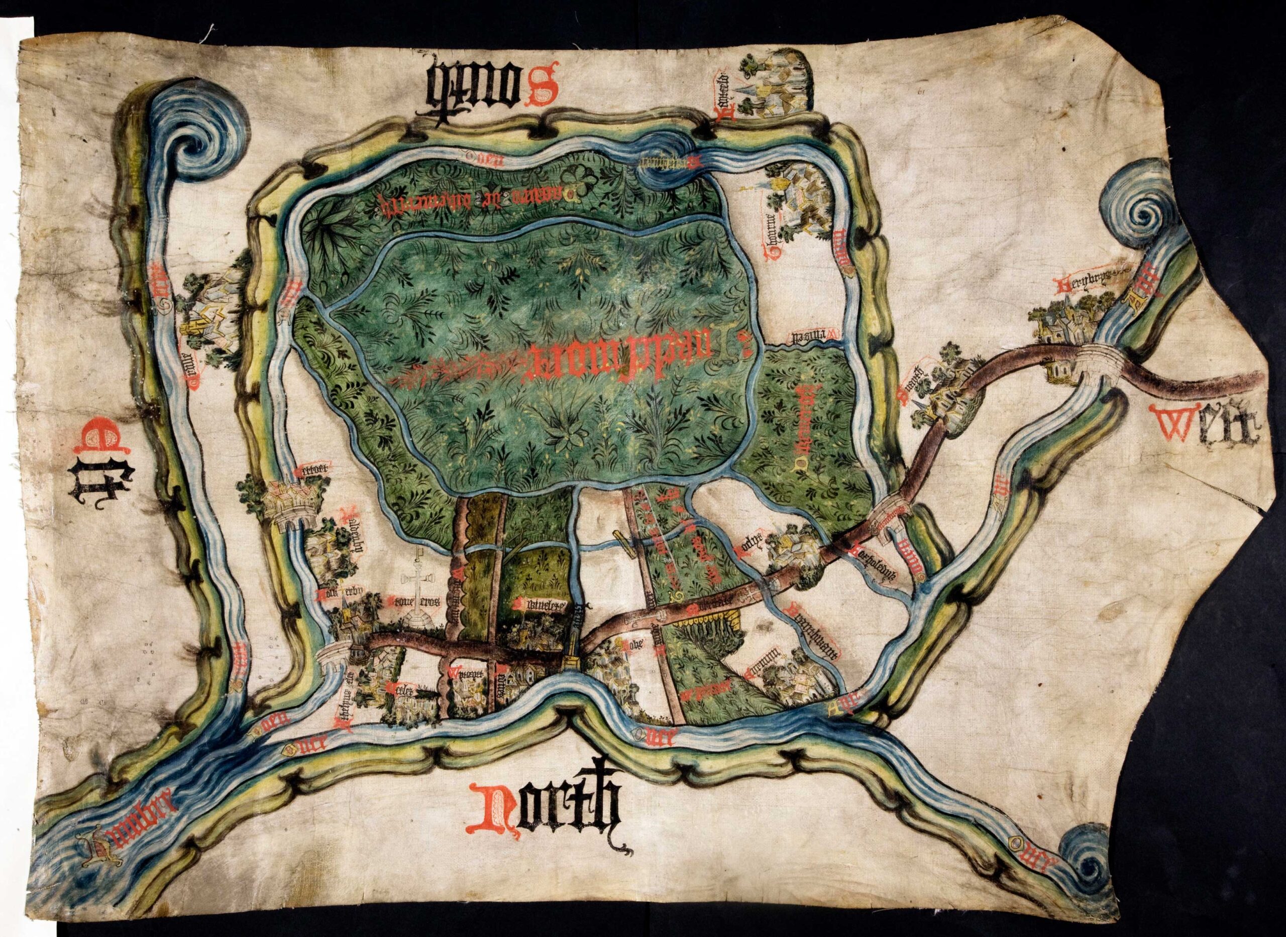
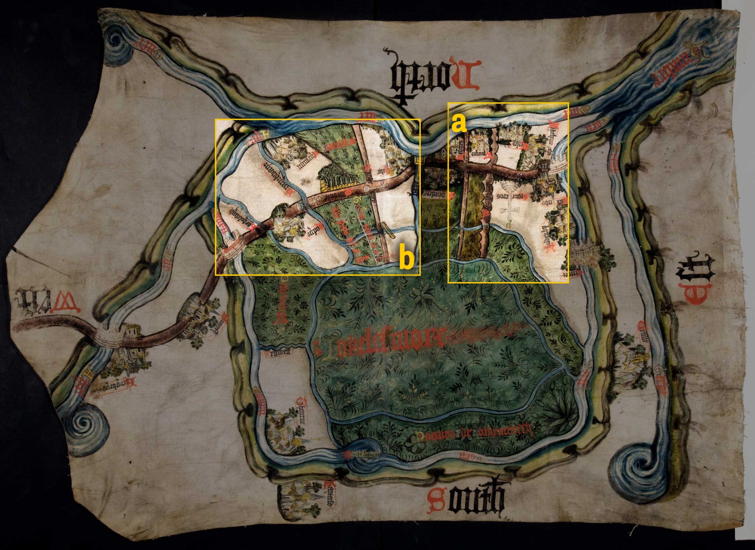
This document is a map from 1407 and records a final agreement in a long-running land dispute between the Duchy of Lancaster, a powerful land-owning family and the abbot of St Mary’s Abbey in York. Catalogue ref: MPC 1/56.
The dispute concerned whom had the right to cut peat to sell for fuel and use different areas of the moor.
The map was meant to be put on a table so the people involved in the argument could see it. That’s why the words North, South, East and West are written in different directions. In the middle of the map in red it says ‘Inclesmore’, which was the old name for this piece of land. The large stone cross drawn on the map and labelled ‘Stone cros’ (a) is to mark the edge of the land that the abbey was allowed to keep sheep on. The two small stone crosses on the left side of the map (b) drawn on the path mark the land that the abbot and the Duchy shared to cut peat in. The section of land between these two crosses was split into one-third for the Duchy and two-thirds for the abbey. The National Archives also has a simplified version of the map, which was copied into the Duchy’s book of agreements alongside the relevant court cases in case arguments broke out again.
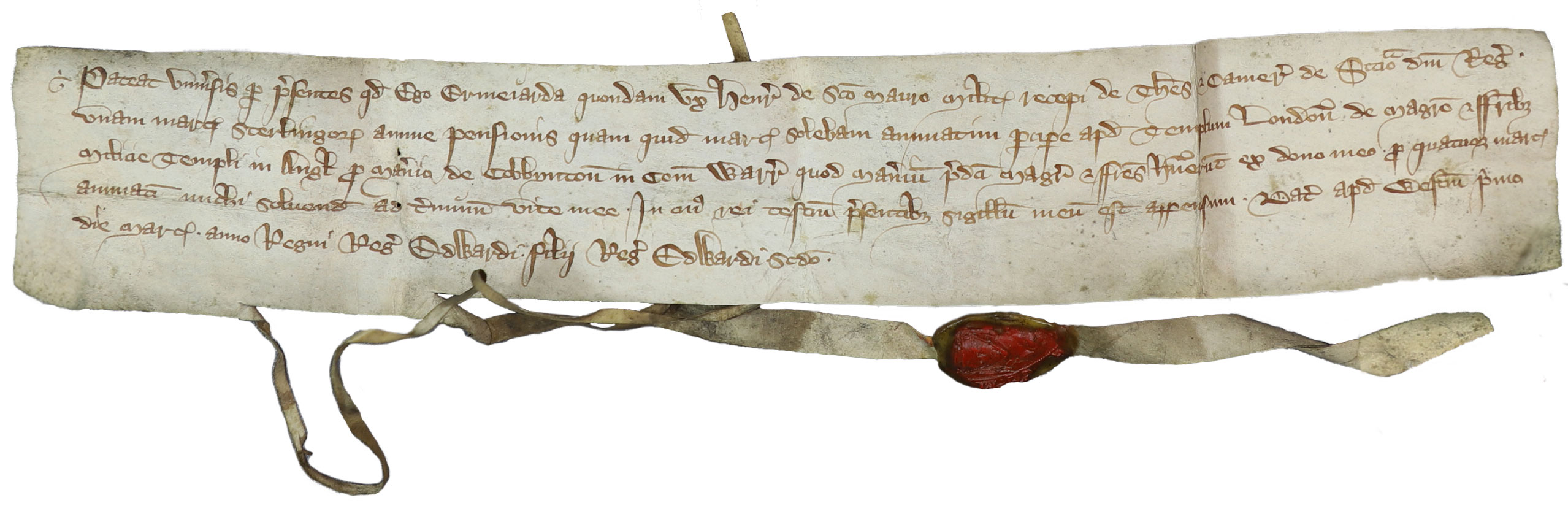
This document is a receipt from a woman called Ermengarda given to the treasury. Catalogue ref: E 42/78
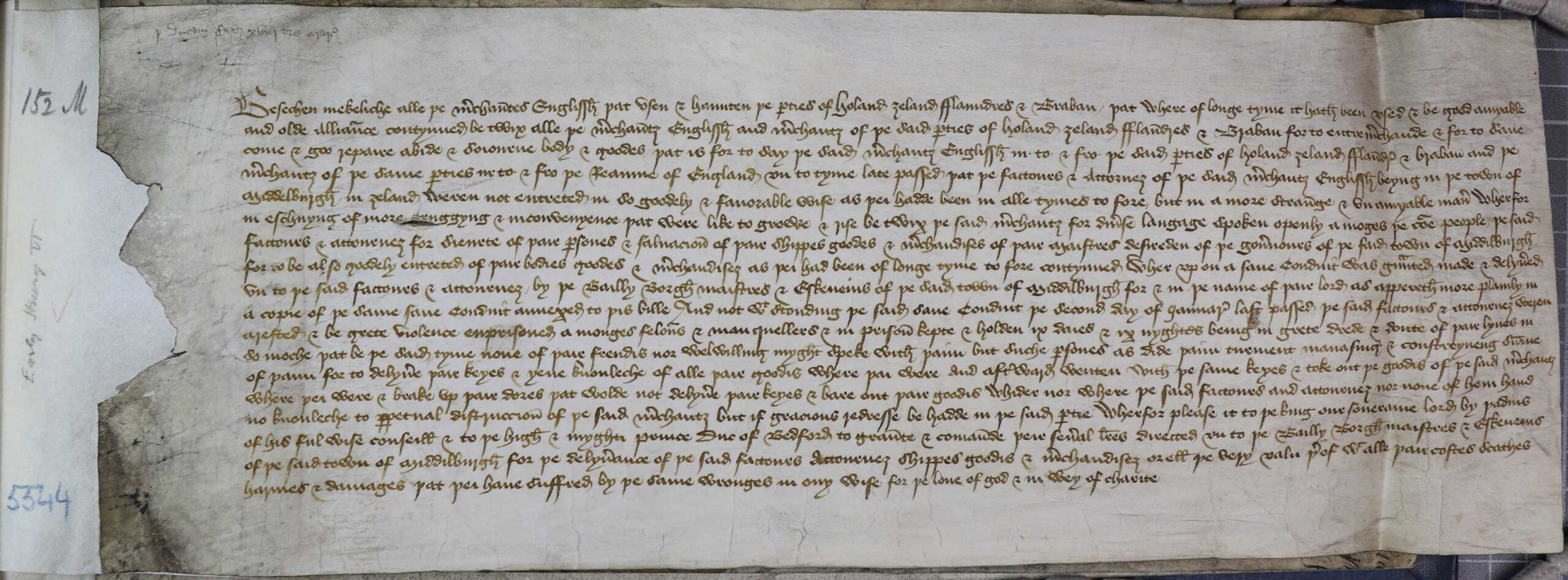
This is a petition from English merchants to the king, about a disagreement over trade in Middelburg in the Netherlands. It was sent in 1426. Catalogue ref: SC 8/126/6265.
The English merchants ask the King to send letters to the officials of Middelburg to return goods taken from certain merchants. They say that although relations between the merchants and the authorities were good, recently some merchants have been badly treated. Therefore, they asked for letters of safe conduct from the authorities of Middelburg. These letters were given but certain merchants were still arrested and imprisoned. They were forced to hand over their keys and goods.
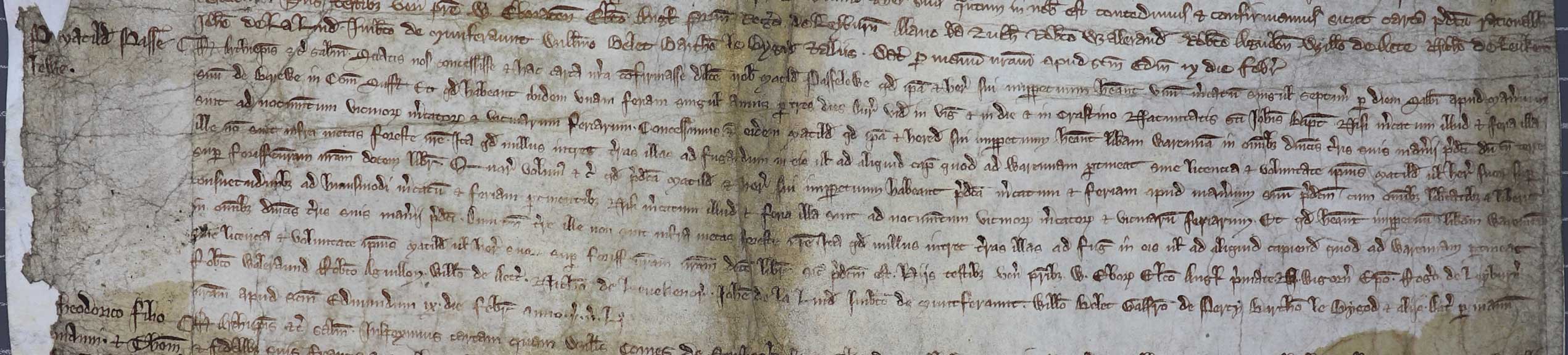
This document is a charter from 9 February 1267. It was from King Henry III to Matilda Passelewe. A charter is a document that the king uses to give rights to someone, so it is a record of an agreement between the king and someone else. Catalogue ref: C53/56 m. 8

This is a document from 1291 about a court case between the people of Grimsby, a town on the River Humber, and the people of Ravenser Odd, a medieval island in the Humber that has since disappeared. It records the argument that they had and how the court case resolves it. Catalogue ref: KB 27/129.