Research guide: The National Farm Survey
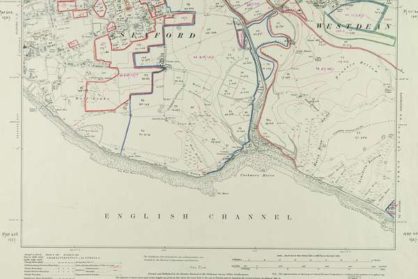
This guide will help you find and use the records of the National Farm Survey of England and Wales, carried out between 1941 and 1943.
The 1941 National Farm Survey is one of the most comprehensive records of land in our collection. This project is digitising the series in full to make survey freely and permanently available.
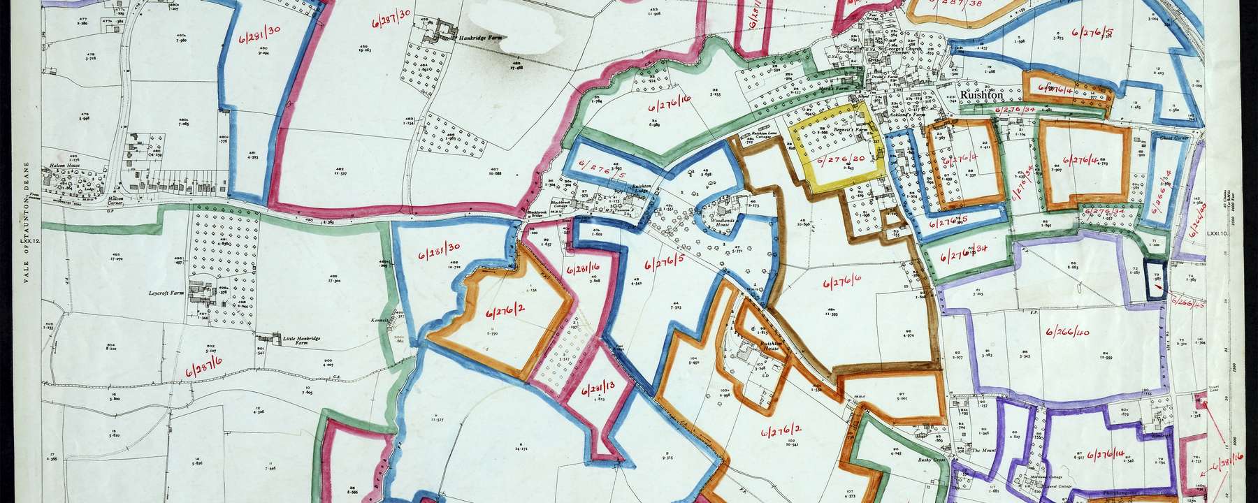
Ordnance Survey map from the National Farm Survey, Somerset. Catalogue reference: MAF 73/36/71.
The Lund Trust
October 2023–March 2027
The National Archives is digitising the National Farm Survey (MAF 32 and MAF 73) in full, thanks to a generous grant of £2.13 million from Lund Trust.
The 1941 National Farm Survey is one of the most comprehensive records of land that The National Archives holds in its collection. It includes extensive data on over 300,000 English and Welsh farms.
The National Farm Survey provides us with a a window in time on the UK’s agriculture and land use in the middle of the Second World War. Due to this, it is among the most-requested record series at The National Archives.
Currently, the complex filing of the paper record makes it difficult for readers to order and use, with the records only available in physical copy. This project will digitise the series in full and create a new digital cataloguing arrangement to make each farm searchable online.
Genealogists, family and local historians will be able to consult the series for their own research. The project will also support new analyses by historical economists, geographers and ecologists.
This guide will help you find and use the records of the National Farm Survey of England and Wales, carried out between 1941 and 1943.
In pictures
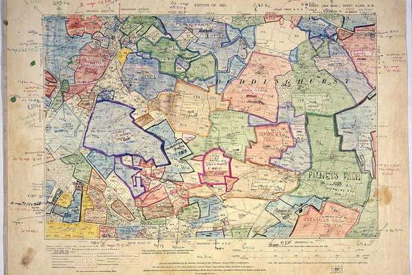
The National Farm Survey was created during the Second World War to increase food production and to plan for post-war agriculture.
Collection blog

Discover how one farm in East Sussex can lead us on a journey through stage and screen, motorsport successes, and celebrity connections during the 20th century.
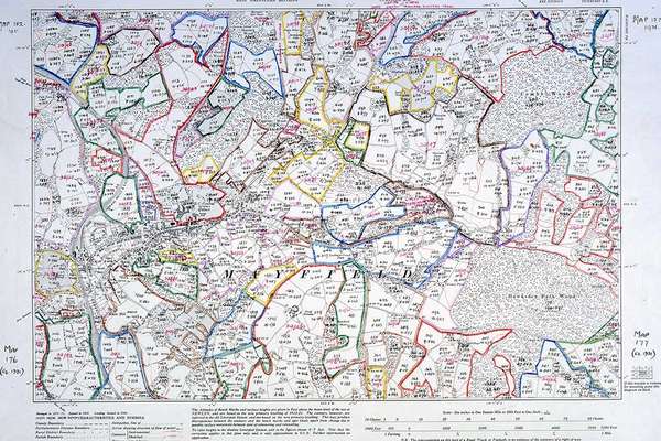
Learn more about the context of The National Farm Survey from the project's cataloguers and interesting features they have found in the collection.