Learn about life in Tudor Hackney and how it was a home to new playwright, William Shakespeare. You can also follow the story of the Daniells family of Hackney and view our picture gallery of sources.
This resource has been archived as the interactive parts no longer work. You can still use the rest of it for information, tasks or research. Please note that it has not been updated since its creation in 2009.
You can find more content on this topic in our other resources:
Videos

- Cardinal Wolsey
How did the authorities react in 19th century?
Lessons
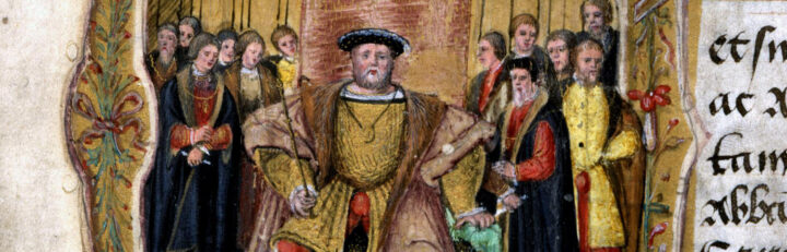
- Henry VIII court rules
How did Henry VIII get up in the morning? - The Great Seal
What can it tell us?
Themed collections
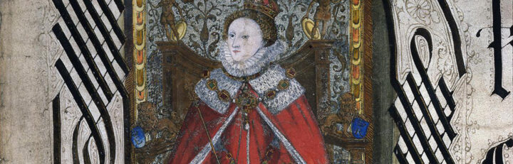
- Elizabeth I’s monarchy
Rule of a ‘weak and feeble’ woman?