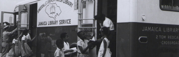
Explore our collections on the history of the British Caribbean.
This resource has been archived as the interactive parts no longer work. You can still use the rest of it for information, tasks or research. Please note that it has not been updated since its creation in 2007.
Go to Caribbean histories revealed
You can find more content on this topic in our other resources:
Lessons
- Caribbean history in photographs
What can these photographs tell us? - Black, Asian and Minority Ethnic Histories
This resource contains a hyperlinked list of National Archives current resources for Black, Asian and Minority Ethnic histories on The National Archives website. - Bound for Britain
Experiences of immigration to the UK - Bussa’s rebellion
How and why did the enslaved Africans of Barbados rebel in 1816?